Welcome
Welcome to GeoCat Map, and thank you for being a GeoCat customer.
GeoServer is a class-leading application for the publishing of spatial information using international and industry standards. GeoServer provides direct access to feature and raster content, rich cartographic visualization, and geospatial processing. GeoServer integrates smoothly into your existing GIS infrastructure working with database, file, and cloud storage.
GeoCat is a proud open source company, and a core-contributor of GeoServer project. This GeoServer Enterprise release includes the latest GeoServer, GeoWebCache, GeoTools, JAT-EXT, and JTS Topology Suite technologies.
Release notes:
Contact GeoCat bv for more information on this product and the advantages of commercial open source.
Note
This document includes creative commons attribution license content from the GeoServer User Manual, and GeoServer and GeoTools release announcements. Material has been adapted to reflect the GeoServer Enterprise product and visual appearance.
User experience
The big change is the introduction of a context-driven user-experience.
-
Starting from the "global" welcome page:
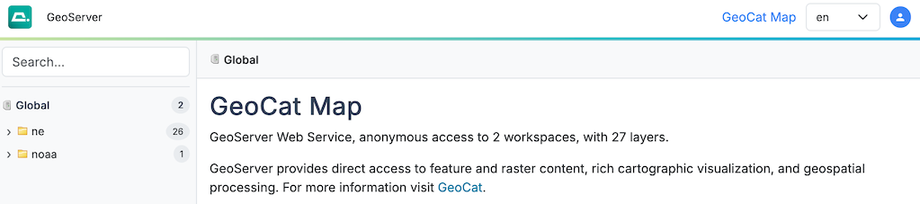 Global context
 -
The "search" available on the right hand side is used to quickly locate published data.
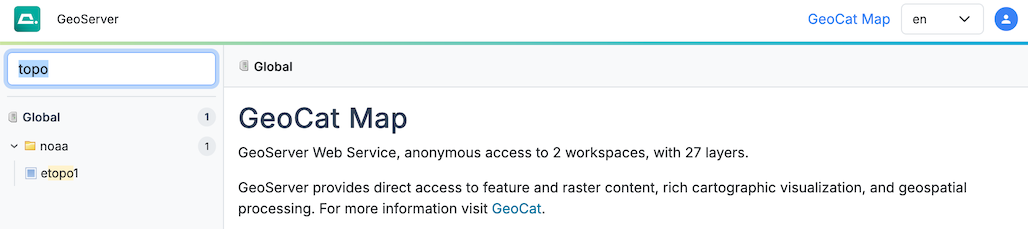 Search results
 -
Selecting a search result establishes the "context" (shown as breadcrumbs along the top of the screen). The page contents update to reflect the current context, with preview, links and downloads close at hand.
There is a small context-menu with short cuts to common actions, and the breadcrumbs can be used to navigate back up to the workspace or global level.
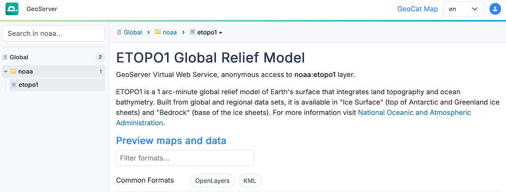 Layer context
 -
When logged in as an administrator additional short cuts and information is available on the page, and in the context-menu.
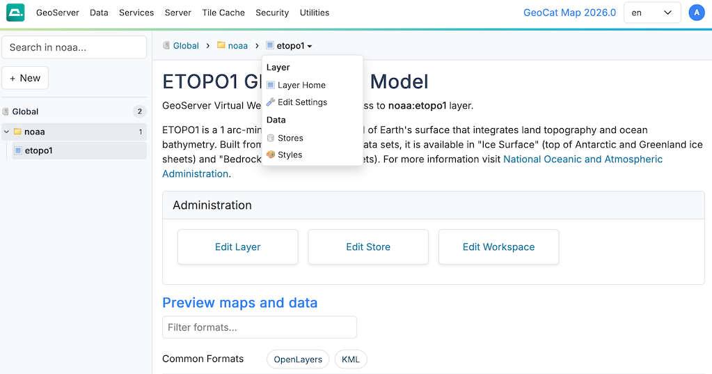 Context menu (logged in as admin)
 -
The traditional application top-level menu is now available long the top of the screen.
Items indicate which context they work with using a small icon to their right (in the following styles will restrict the style list to those used by the current layer).
A few items have moved to allow the GeoServer menu to list all the pages available to anonymous users.
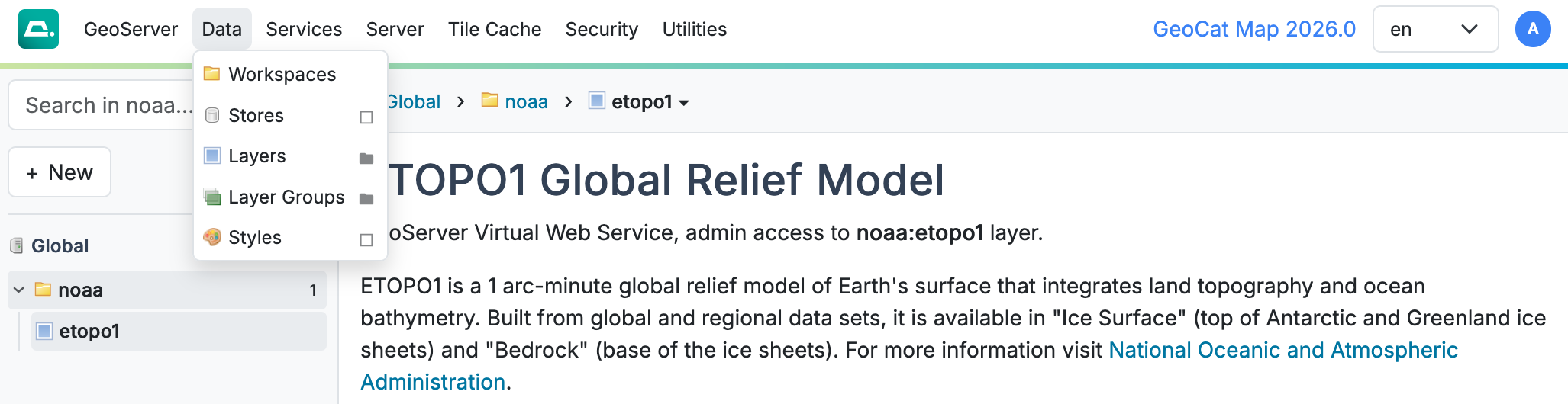 Top-level menu (logged in as admin)
User Interface Theme
The GeoServer 3 user theme improvements are greatly informed by visual appearance of our GeoCat Map and GeoCat Live products.
-
Full responsive with dark mode support.
-
Responsive user interface adoption of two-column form layout (inspire by GeoNetwork setting page).
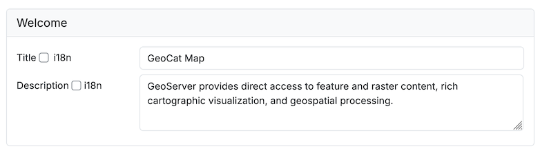 Responsive Two Column Form
For GeoCat Map Theme:
- Minor changes to logos and colors
-
GeoCat Map displayed in the toolbar, updated with release version displayed when logged in. This functionality can be disabled (or replaced using)
GEOSERVER_NODE_OPTSapplication property.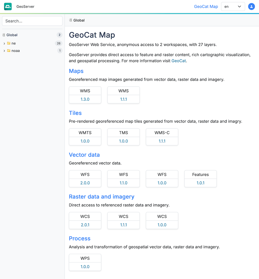 GeoCat Map Theme
For GeoCat Live Theme:
- Minor changes to logos and colors, inclusion of Intern font
-
GeoCat Live displayed in toolbar, with update version displayed when logged in.
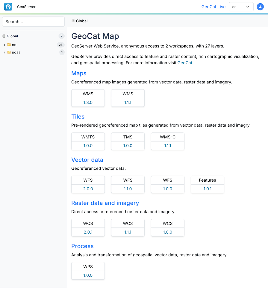 GeoCat Live Theme
Service Configuration
With the gradual introduction of OGCAPI services having one page for each service has changed to allow services on a topic to be managed together.
-
Raster Services
Configuration settings for raster data and imagery, including OpenGIS Web Coverage Service.
Optional: Use WCS Service Control to disable prior versions of WCS to only support the latest WCS 2.0.1.
-
Vector Services
Configuration settings for vector services as a whole, OpenGIS Web Feature Service, and OGCAPI Features.
Optional: Use WFS Service Control to disable older versions of WFS to provide only the latest WFS 2.0.0 and OGCAPI Features service.
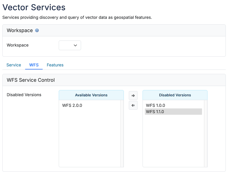 Vector Services
 -
Mapping Services
Configuration settings for mapping and visualization, including OpenGIS Web Map Service.
Although WMS Service Control is available both WMS 1.1.1 and WMS 1.3.0 are in active use, with many clients preferring the older WMS 1.1.1 specification lon/lat order.
-
Processing Services
Service configuration for processing and execution services including OpenGIS Web Processing Service.
-
Tiling Services
Configuration settings for tiling services including Web Map Tile Service.